Mileage: 2129 Cumulative: 21885
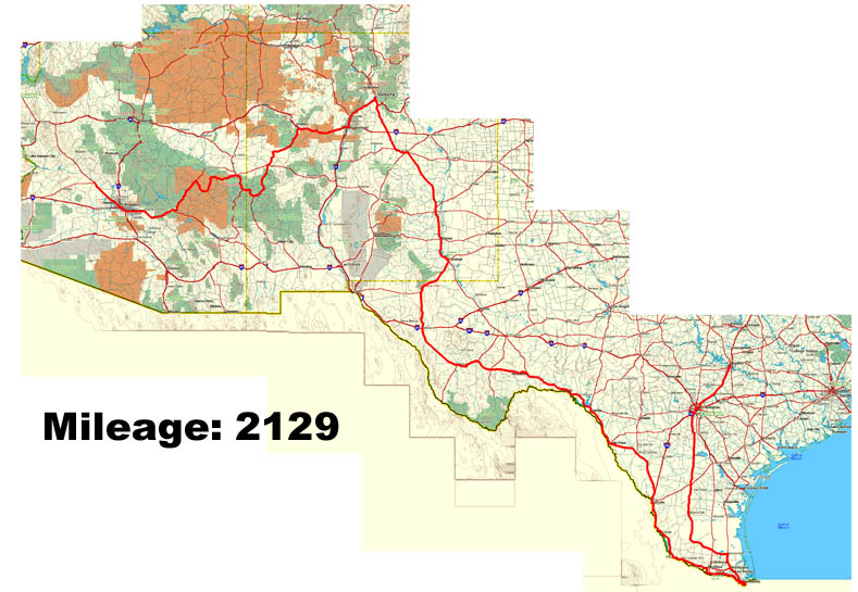
The further south I headed, the dryer it became. Dry grasses and cacti start to replace the lush prairie. The secondary roads become less interesting, straightening out into lines laser sharp to the horizon. I did notice one interesting thing. Nearly every truck I approached pull over to the side to let me pass. Either my headlight modulator had them thinking I was a cop or its really true when they say "an armed society is a polite society". Either one works for me!
The only thing of note in the whole day was another mileage milestone. This time 45,000 miles!
Rather than head into Brownstone, my Southern point, I decided to stop forty miles north.
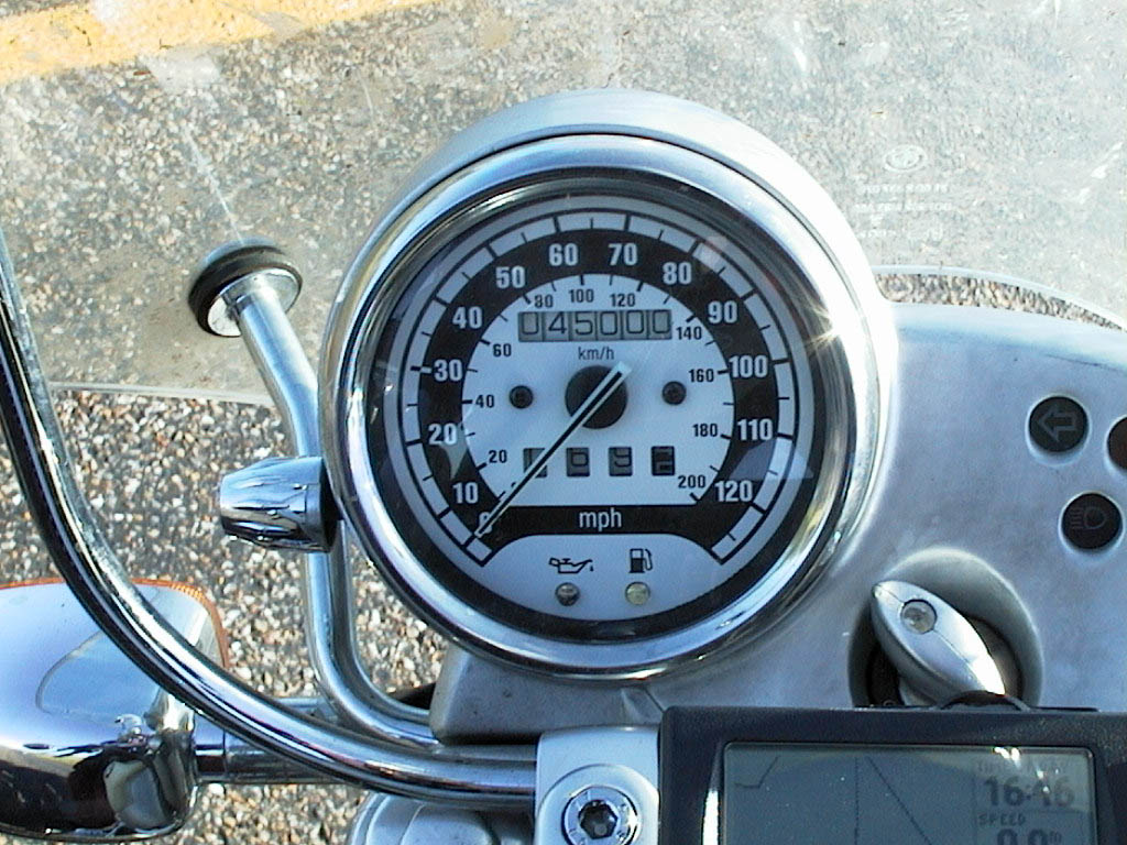
Another mileage milestone
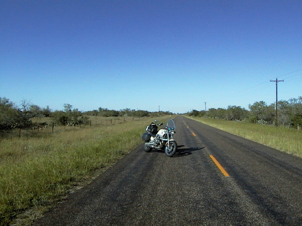
It's funny, but somehow I thought Texas would
be BIGGER
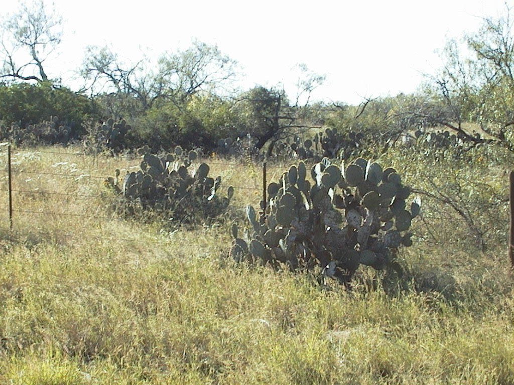
Very cool cacti growing by the side of the
road
"This is it," I thought, "nearly at another 'corner'." Or so my mind told me as I entered Brownsville, Southernmost town in Texas. While Key West is technically the southernmost point in the country, I had decided to designate it the South East point and have Brownsville be my southern point. Finding the actual Southernmost point proved difficult. There were lot's of dead ends - fields, nature reserves, peoples houses. Eventually I found it! Waiting for me was the Border Patrol. Well, one of their trucks anyway.
I has lunch in Brownsville in this small Mexican Cantina. Nobody spoke English and I ordered the only thing on the menu I could understand - the Mexican Plate. It turned out to be tacos, burritos, enchiladas and stuff. I lucked out. Doubly so when the check arrived - $5 for more food than you'd believe. No wonder the place was packed.
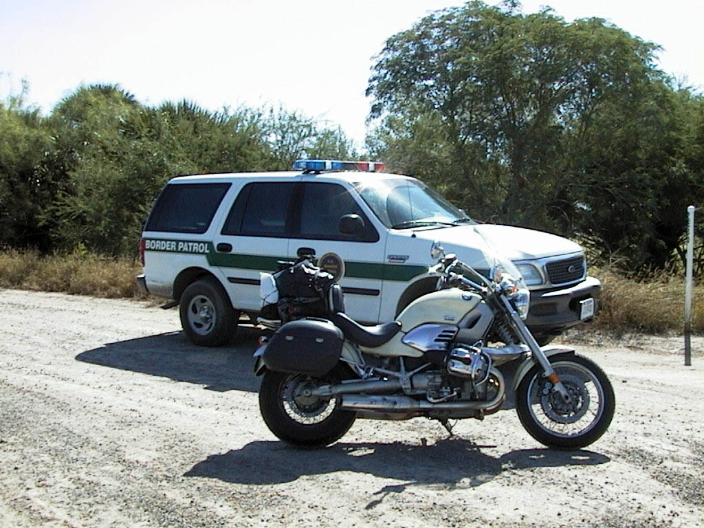
Border patrol by the Rio Grande
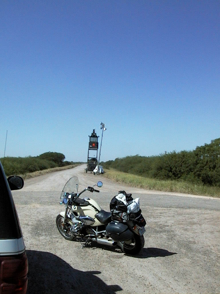
The Mexican border
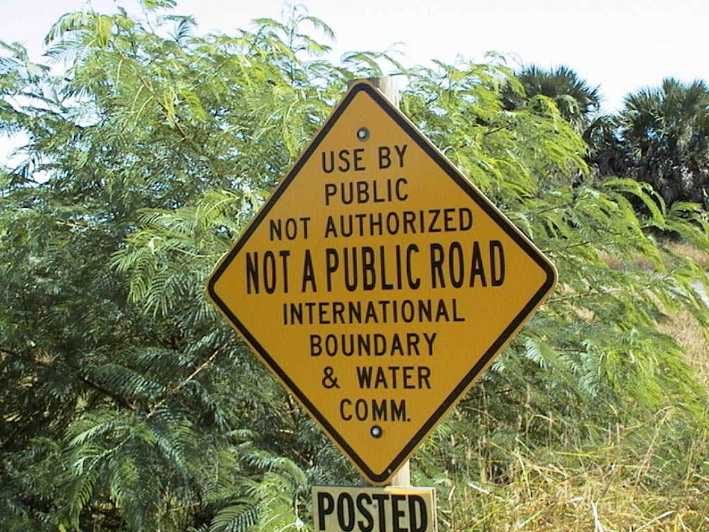
Just in case the clear-cut, lights and border
patrol wasn't enough of a clue, there's a little sign as well
From Brownsville I paralleled the Rio Grande. Like the Mississippi, it too has a river road. And like the Mississippi, you can't see the river from it. One many occasion I turned south hoping to see the river and nearly ended up in Mexico. After having to perform a U-turn on a bridge to Mexico before the border control I decided to give up the quest. Add the Rio Grande to my list of very big rivers I've almost seen.
There were lots of Border Patrol and I was stopped many times by routine road blocks. Despite being on an expensive bike with Californian plates I was asked to produce my ID on each occasion. Mostly my driving license would do but on three occasions I had to produce my passport and green card. Traveler's beware!
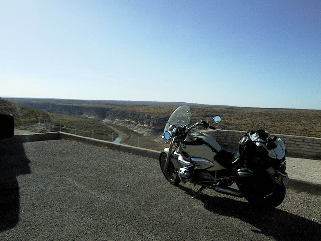
Pecos River, carved through the heart of the
Amistad Recreation Area
Into New Mexico. We've all seen it in movies. The long, straight road, yellow line stretching to the horizon. All around nothing but sand, rocks and the occasional tumbleweed. In the distance, mountains offer no relief from the dry heat. This is it, your mind tells you. Here's where the nightmare starts. A lone hitchhiker, a rogue truck driver. Even a rabid motorcycle gang.
Shows you how wrong you can get.
The end of a long day where, as the Python boys put it, Nothing Happened and I drew into Santa Fe for my now obligatory photo stop. From Santa Fe I headed south into Albuquerque for the night.
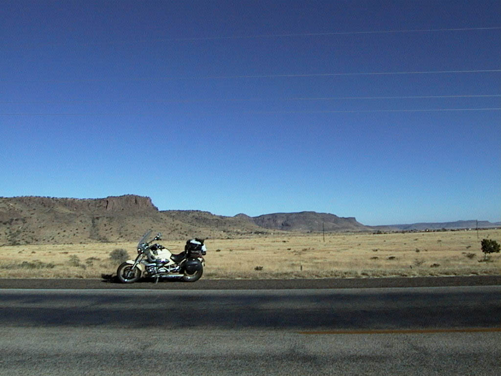
Typical New Mexican landscape
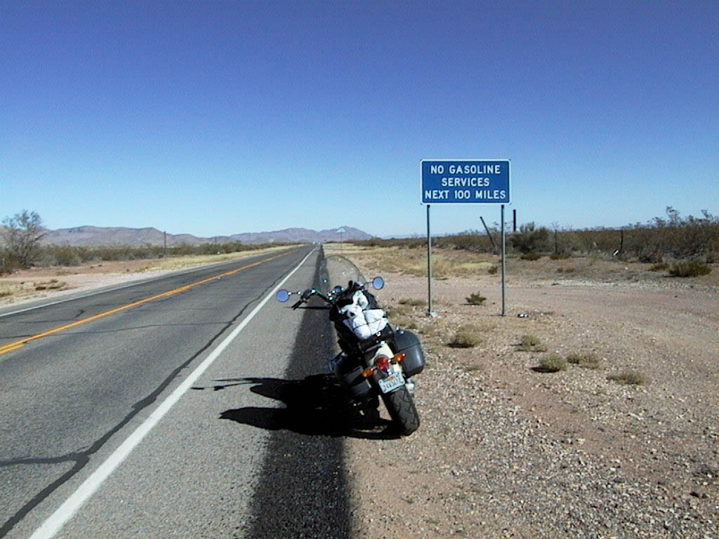
A more accurate sign might be "Nothing for
next 100 miles"
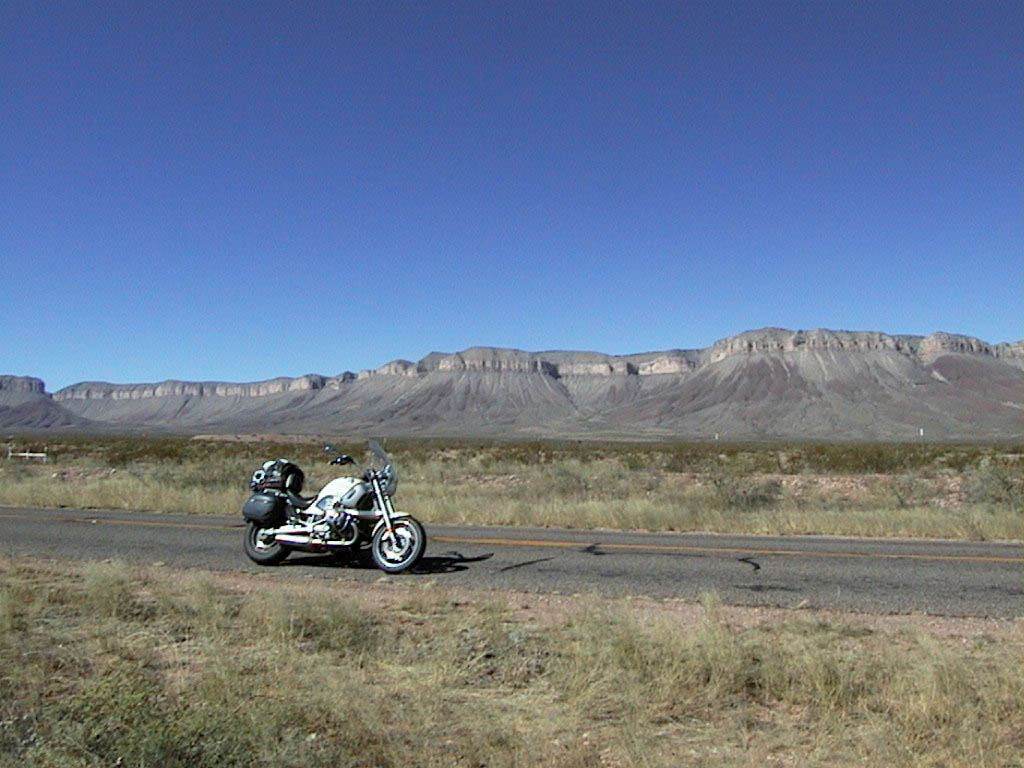
This type of scenery was all over
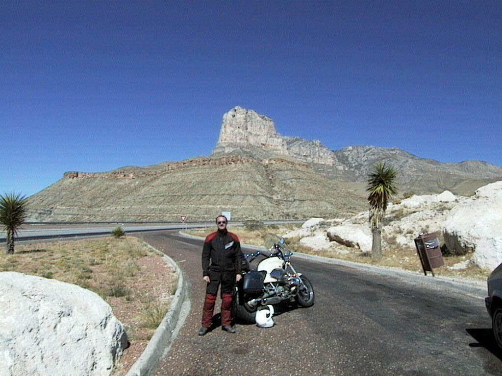
Guadeloupe Peak
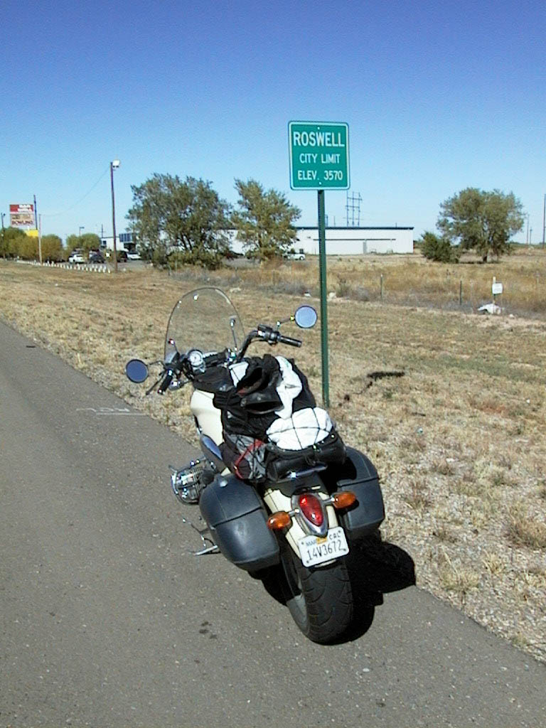
No space aliens but at least one Starship
Wurlitzer
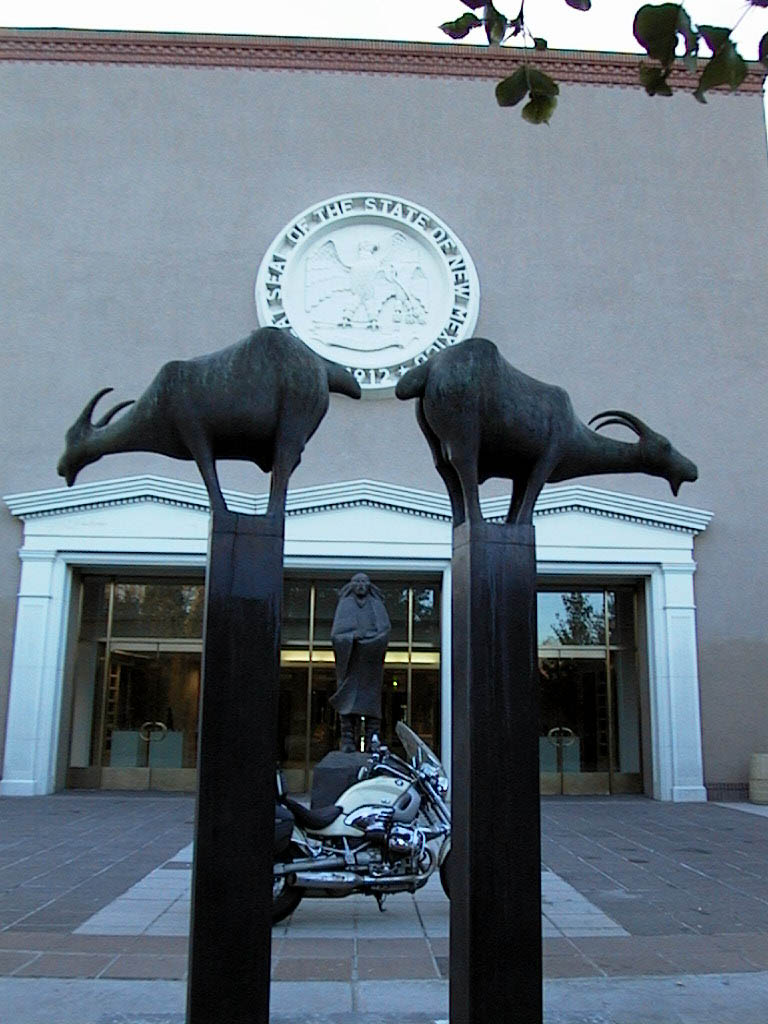
#46 - New Mexico
I've never been accused of being ordinary and I certainly don't run with the pack. Which is why I took perverse pleasure in turning "right at Albuquerque" to head towards Arizona. Simple pleasures, I know.
The scenery in Arizona is dramatic. From natural rock arches to deep canyons to sandy plains, Arizona has it all. It sometimes felt that there was something new around every bend. After a tremendous day of motorcycling - just check out the photos below - I stopped in Phoenix, the capital, for the night.
Little did I know just how good it was going to get...
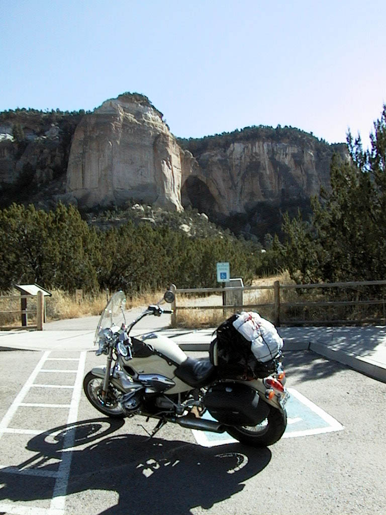
A natural rock arch
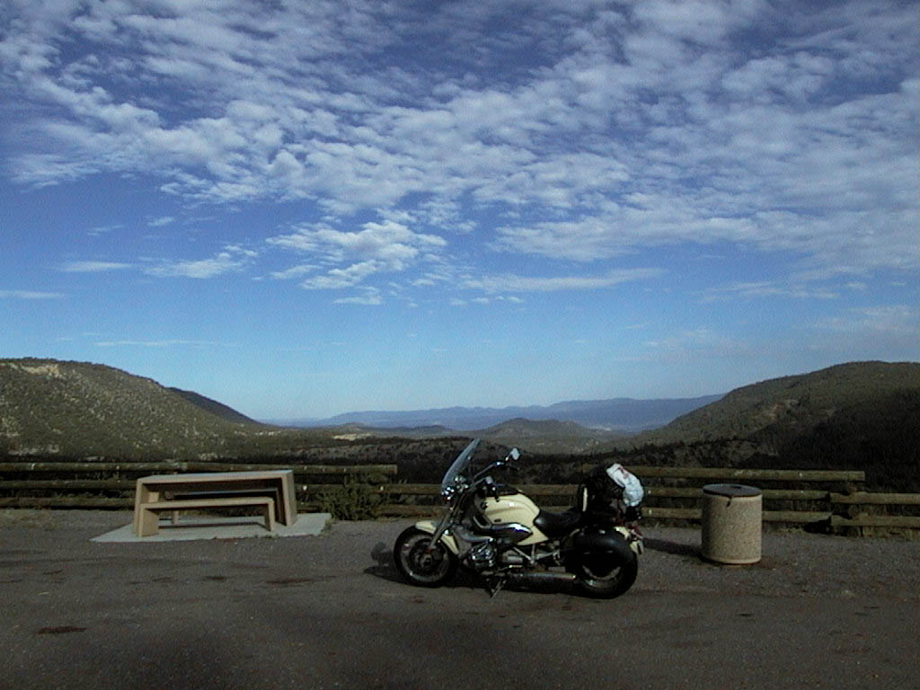
There's plenty of high spots to see the scenery
wednesday
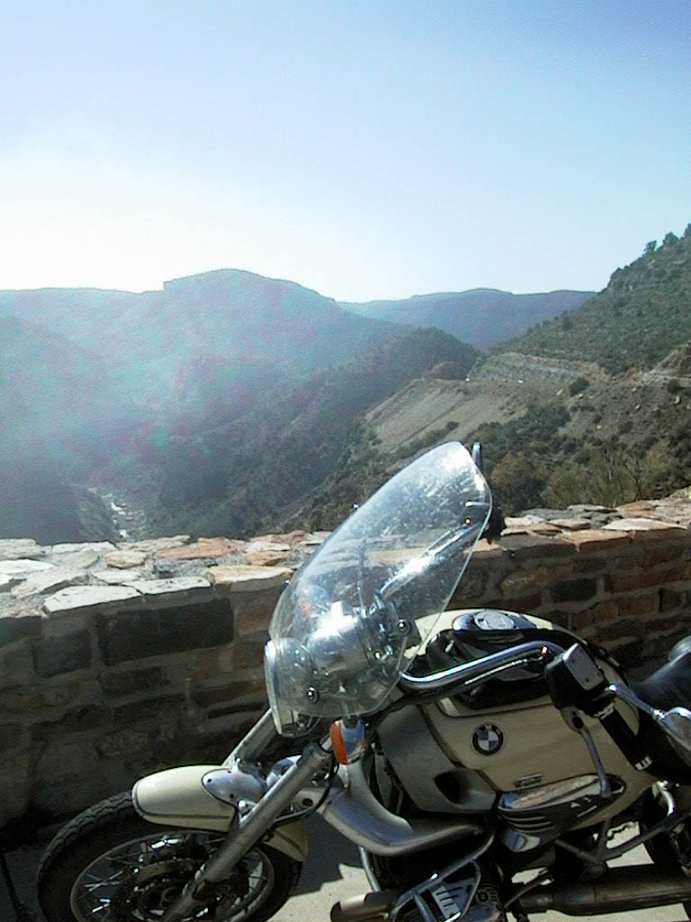
The Salt River Canyon - glorious!
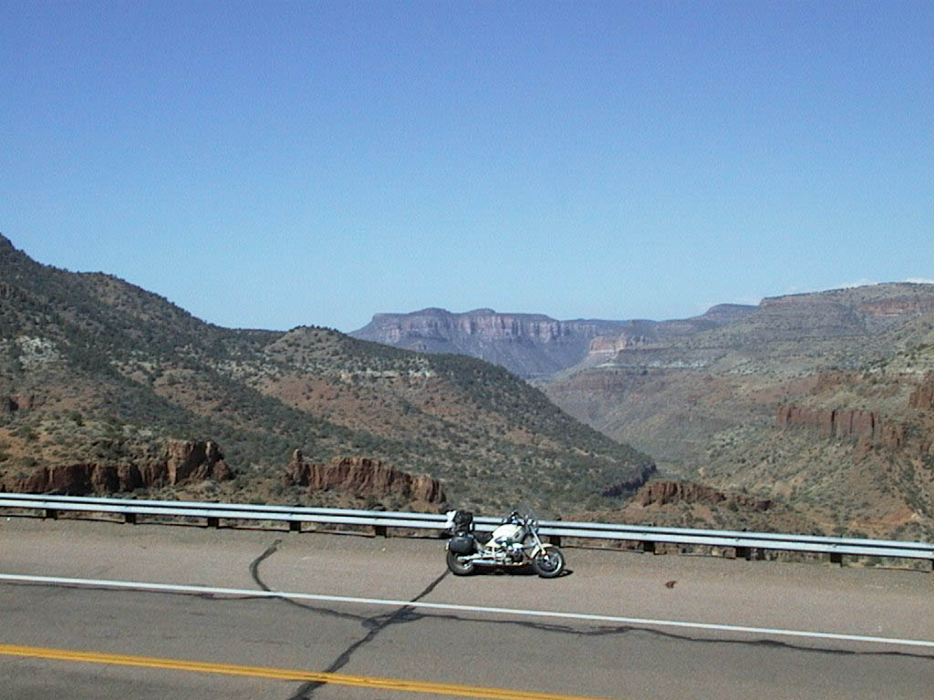
In Arizona, just another bridge across a river...
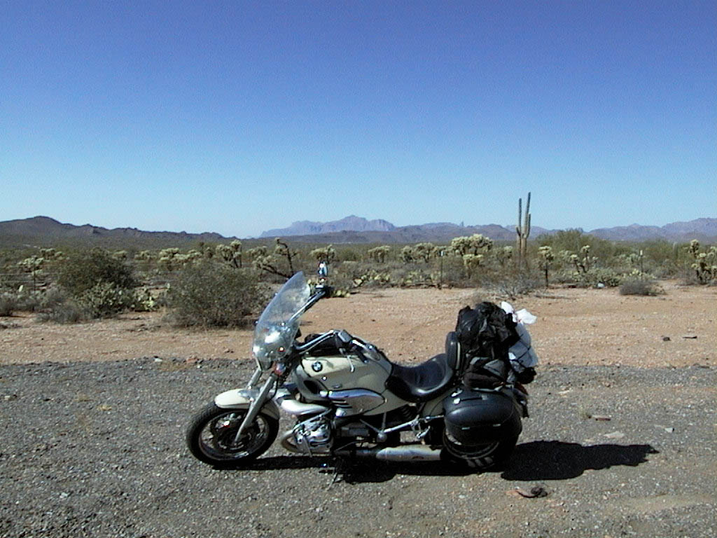
My first "Loony Tunes" cactus
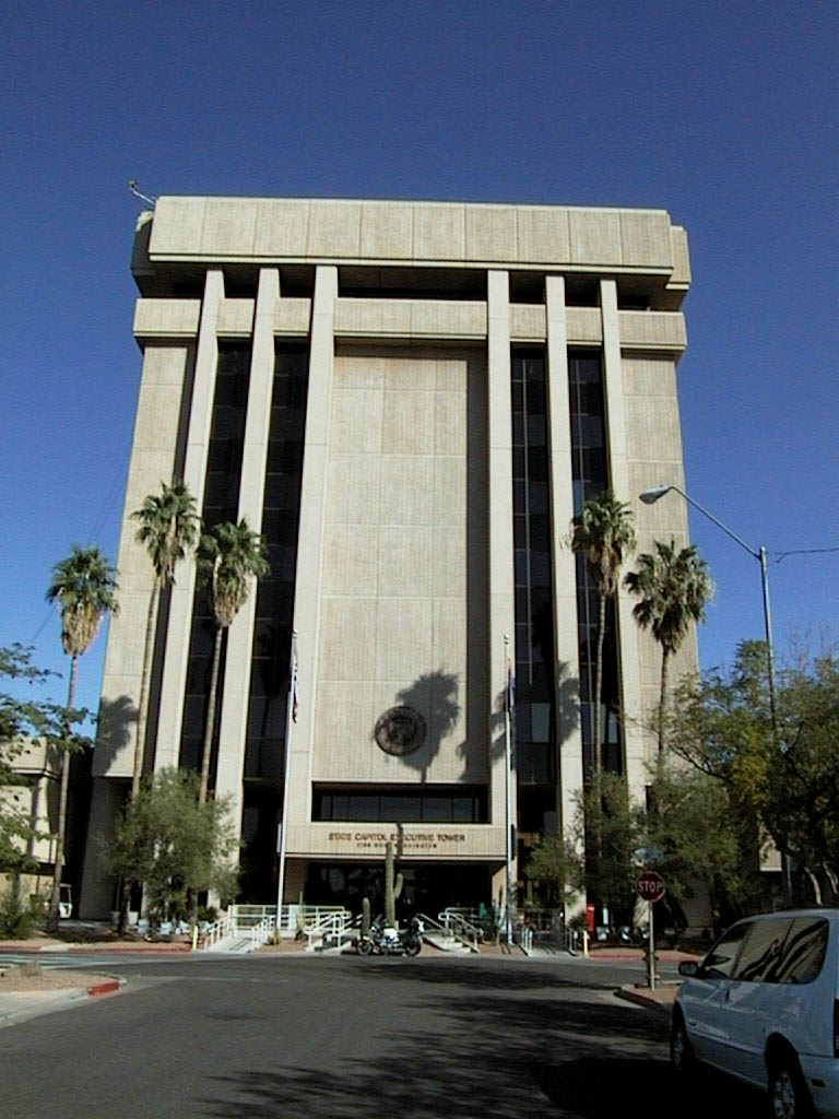
#47 - Arizona